Yesterday the other half and I decided to travel the 15 minutes to nearby
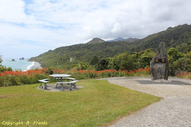
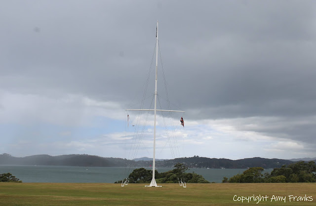
Matauri Bay so we could visit the Rainbow Warrior monument. We entered through the
caravan park which had quite a few campers but still relatively quiet over Winter.
Past both sides of the beach around the coastline - the waves were very choppy. We were in 2 minds as to whether to go out on our boat or not but good that we didn't.
Walking up 2 quite steep paths to the top - I'm not the fittest person so I stopped a few times to catch my breath. You are probably wondering what's the story behind the monument. On 10th July 1985 the
Greenpeace ship The Rainbow Warrior was moored in Auckland ready to confront French nuclear testing in the Morurua Atoll in the Pacific.
The captain and other crew members are fast asleep but a few others including the photographer were still up chatting with each other. Suddenly the lights went out, glass is broken along with a huge roar of water and 2 explosions heard. Those who were already on deck managed to leap to safety onto the wharf but the photographer Fernando Pereira had been caught in a wave and drowned.
In an attempt to neutralise the ship ahead of it's planned protest French secret service agents in diving gear had attached 2 packets of plastic wrapped explosives to it, 1 to the propeller and 1 to the outer wall of the engine room. At first the French Government denied all knowledge of it but it soon became obvious that they were involved. Eventually Prime Minister Laurent Fabius appeared on the television and admitted that their secret service agents had sunk the boat and were acting upon orders. Shortly after the Defence Minister of France resigned.
The 2 agents stood trial, Dominique Prieur and Alain Mafart had posed as Swiss tourists pleaded guilty to charges of manslaughter and wilful damage and were given sentences of 10 and 7 years but they were released with 2 years. A UN negotiated settlement meant they were transferred to Hao Atoll a French military base in French Polynesia.
The spy who infiltrated the Greenpeace NZ office ahead of the bombing Christine Cabon evaded arrest in Israel and hasn't been seen since. The whereabouts of the combat frogman with the alias Jean-Michel Berthelot - one of the 2 divers believed to have planted the bomb are unknown.
The Rainbow Warrior was named after a North American Cree Indian prophecy "When the world is sick and dying, the people will rise up like warriors of the rainbow". On it's bow she carried the dove of peace carrying an olive branch and around the hull was painted the rainbow.
After the bombing the ship was given a resting place here at Matauri Bay where it became a living reef attracting marine life and recreational divers. Greenpeace replaced her with a new vessel and for 22 years the second Rainbow Warrior has campaigned for a safer future. In 2011 the newest Rainbow Warrior the world's first purpose built environmental campaigning ship readied herself to carry on the original Rainbow Warrior's spirit.
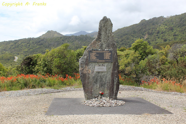
I was a teenager when this happened, I was 14 and remember the huge public outcry of fellow kiwis as the 2 French agents got off their sentences with a slap on the wrist. The memorial monument itself was the world of kiwi artist Chris Booth and was commissioned by Ngati Kura along with NZ China Clays.
Linking up with
Our World Tuesday and
My Corner of the World.